Geospatial Mapping
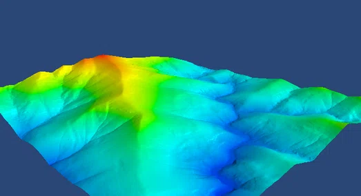
Heritage and Spatial undertakes geospatial mapping and analysis with a range of tools including Postgres/Postgis, Python, QGIS, and R. Common data types used include Shapefiles, LAS, GeoJSON, and GeoTIFF. Geospatial modelling and 3D modelling are undertaken for visualization, understanding trends and predictions, and informing research. We provide GIS services including spatial analysis and the preparation of attractive maps for reports and presentations.
Aerial Imagery
Aerial imagery with lightweight drones is used to assess landscapes and heritage sites. Image georeferencing is used to produce accurate site plans of heritage and archaeological sites. Heritage and Spatial undertake drone aerial photography of properties and landscapes within the CASA safety rules and standard operating conditions upon request.
Business Services
Heritage and Spatial have expertise in technical writing and documentation, business process design and modelling, process improvement, business analysis, project plans, operations manuals, build guides and the development and accreditation of quality management systems, and integrated management systems. We use business process model notation BPMN to model and map business processes. We have experience in cyber security processes, ITIL processes, support processes associated with telecommunications and IT, and management system processes including quality, environment, safety, risk and governance. We provide project management services. Our services can be provided on hourly or daily rates or by fee proposal.